Deserted Valley
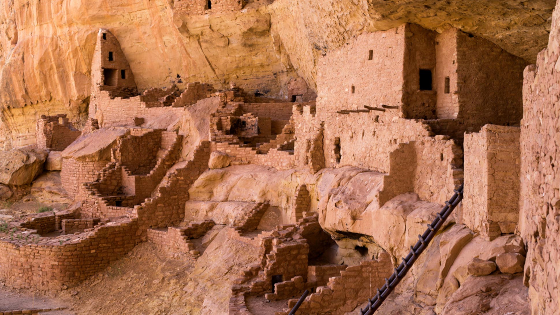
Hovenweep, a Ute Indian word meaning “deserted valley,” was once home to over 2,500 people – that’s more than the current population of Dolores and Mancos combined! Hovenweep includes six prehistoric villages built between A.D. 1200 and 1300. A variety of structures include multistory towers perched on canyon rims and balanced on boulders. Unique square, oval, circular, and D-shaped towers display incredible attention to detail and will leave you marveling at the skill and motivation of the builders.
The striking towers might have been celestial observatories, defensive structures, storage facilities, civic buildings, homes or any combination of the above. While archeologists have found that most towers were associated with kivas, their actual function remains a mystery. They created terraces on hillsides, formed catch basins to hold storm run-off, and built check dams to retain topsoil that would otherwise wash away. Storage granaries under the canyon rims protected harvests of corn, beans, and squash for later use.
Before the Ancestral Puebloans built their villages, nomadic Paleoindians visited the Cajon Mesa to hunt game and gather food. That puts humans habitation at Hovenweep to over 10,000 years ago, roughly at the end of the last Ice Age when ancient peoples all over the world were living in caves. By the end of the 13th century, ancestral Puebloans migrated south to the Rio Grande Valley in New Mexico and the Little Colorado River Basin in Arizona. Today’s Pueblo, Zuni and Hopi people are the descendants of this culture.
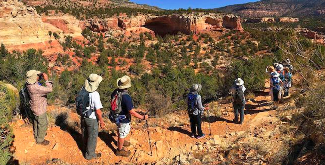
Known for its unique square, oval, circular and D-shaped towers, Hovenweep National Monument is located west of Cortez on the Colorado-Utah border. A visitor center, restrooms, and a two-mile moderate walk through a canyon and past several archaeological sites are located at the Square Tower headquarters area. Check at the visitor center for information on visiting the outlying sites.
POINTS OF INTEREST
McElmo Canyon Route passes through red rock canyons, and by orchards and vineyards–stop at Guy Drew Vineyards for a wine tasting. Note Battle Rock School, one of the last one-room schoolhouses in operation. If you take the Pleasant View Route, you will pass many fields of beans in an area known as the Pinto Bean Capital of the World. On the Pleasant View Route also check out Lowry Pueblo, part of the Canyons of the Ancients National Monument.
Distance From Cortez: McElmo Route is 45 miles one way. Cortez-Pleasant View loop is 85 miles.
Day Trippin’ Time: Allow a full day.
Access: Car, highway, possible gravel roads. McElmo Route is totally paved. Pleasant View Route is paved all the way. Access Fee.
Services: Limited. Bring water and a picnic lunch and make sure you have a full tank of gas. There is a campground at Hovenweep.
Before You Go
- Open year-round
- Visitor Center open daily (closed on Thanksgiving Day, Christmas Day, and New Year’s Day)
- Pack a lunch
- Fill the gas tank before heading to Hovenweep
- Entrance fee is good for seven days
- Plan to spend a full day exploring
- Start your visit at the Square Tower Group
- Square Tower Site is easily accessible, other sites require bumpy roads and/or hiking
- Bring sunscreen & hats to protect from the sun
MAIN ATTRACTIONS
Square Tower
Little Ruin Canyon
Cutthroat Castle
Horseshoe & Hackberry
Holly
AMENITIES & SERVICES
Visitor Center
Bookstore
Picnic shelters
Restrooms, water
Campground
Commercial tours availab
Getting There
Located on the Colorado/Utah border, just an hour west of Cortez; Hovenweep may be reached via paved roads through either McElmo Canyon (just outside of Cortez) or by way of Pleasant View; Check on road conditions, as heavy rains or snow can make the Pleasant View route impassable


