ESCAPE THE CROWDS
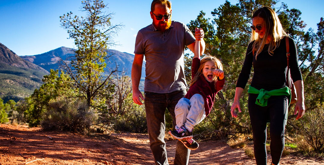
Mesa Verde Country has some of the most beautiful hiking trails in Colorado, from beautiful red-rock canyons, to the cool San Juan National Forest, and spectacular 14,000 foot peaks (Fourteeners). There are hikes to suit every skill level and to fit the amount of time and ambition you have available. See below for downloadable maps and guides. You can also explore backcountry archeological sites not normally open to the public through the nonprofit Mesa Verde Institute (800.305.6053).
San Juan National Forest and the Uncompahgre National Forest have jointly published an excellent brochure on the hiking opportunities available in the wilderness area. Their brochure also outlines precautions for high-altitude hiking, and suggests some useful minimum impact techniques. Brochures and hiking maps are also available at local sport shops and from the Dolores Ranger District, or the Norwood Ranger District. Stop at either of these offices for more information on trail conditions, access and difficulty.
Lizard Head Wilderness Area is one of the most rugged and pristine sections of Southwest Colorado. Most of the hiking trails are near or well above timberline. There are three 14,000 ft. peaks within the area, with Mount Wilson (14,246 ft.) being one of the most difficult, requiring technical expertise and equipment. The eastern portion of the area is well hiked, with the Navajo Lake, Lizard Head, Bilk Basin, Cross Mountain, and Woods Lake Trails covering this territory. Be aware that campfires are prohibited in Navajo Basin.
LOCAL HIKES
Boggy Draw – Open to hikers and mountain bikers, Boggy Draw is just outside of Dolores and contains about 30 miles of single track trails creating four loops. Unique to the surrounding landscape, the trails weave through lush Ponderosa forest and extend to the edges of several rock outcroppings. Because of the shade and higher elevation, this area offers a nice escape from the summer heat.
Mesa Verde National Park – Mesa Verde’s famed National Park has hundreds of miles of trails to explore that showcase the Park’s preserved sites. Click here for trail maps and information. Mesa Verde National Park also offers special backcountry hiking options.
Sand Canyon Trail System – Canyons of the Ancients National Monument – The Sand Canyon trails offer more than just a hike through amazing country. Among the stellar rock formations, you’ll see ancient pueblos and cliff dwellings once inhabited by the native peoples. Trek the main 6-mile out-and-back trail, or enjoy some of the easier routes like the Rock Creek Loop or East Rock Creek Loop near the south trailhead. Because Sand Canyon is fairly open and exposed, be sure to wear sunscreen and bring plenty of water. This area is best hiked during the early morning, before dusk, or during the spring and fall months.
Hovenweep National Monument – From the visitor center, start your hike on the paved two mile path. This loop passes by the famous Square Tower Group – the largest collection of ancestral puebloan dwellings in the monument – at the head of Little Ruin Canyon. View the Little Ruin Trail Guide here.
KNOW BEFORE YOU GO
- The purchase of detailed maps is highly recommended
- Conditions can vary due to flooding, landslides or other natural causes
- Check the weather forecast as prevailing conditions can change quickly and dramatically, even in summer
- Hikes range from 5,000 feet to over 12,000 feet in elevation
- Symptoms of high altitude sickness include headache, nausea, vomiting, disorientation and loss of consciousness
- High-altitude sickness can be avoided by taking two days to rest and acclimate
- If symptoms occur, get to a lower altitude as quickly as possible
- Do not camp in stream beds and low-lying areas due to flash flooding
- Abandon high ground as quickly as possible to avoid lightning, Don’t drink the water, giardiasis (virulent amoebic dysentery) occurs in all open waters in the state
- Do not take water from streams that have red or yellow streambeds indicating naturally occurring heavy metals.
MAIN ATTRACTIONS
- Dolores River Canyon
- Mesa Verde Trails
- West Mancos Trail
- Indian Ridge Trail/Colorado Trail
GETTING THERE
Download hiking maps showing hiking trails and descriptions in Mesa Verde Country
AMENITIES & SERVICES
- Dolores Ranger District Office
- Norwood Ranger District Office


